The Parish of St. Nicholas Hurst is situated four miles north of Wokingham and two miles south of Twyford in the county of Berkshire. It covers some 650 hectares and as such is the largest Parish in the administrative area of Wokingham District.
The village is located on the A321 Twyford to Wokingham Road. There is a number of other smaller areas of sporadic development, the main ones being along Davis Street on the B3030 Twyford to Winnersh Road, along the B3034 Forest Road, from Bill Hill to Binfield and on Broadcommon Road.
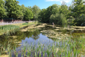
The River Loddon flows north along the western side of the Parish and a substantial proportion of the Parish lies within the alluvial flood plain of this river and its tributaries. The most important exceptions to this are Church Hill just to the west of the village centre, and Ashridge to the south-east.
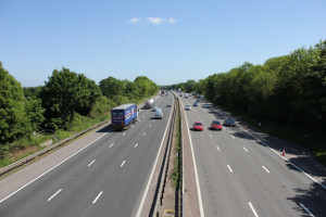
The M4 crosses the southern half of the Parish but does not have any direct access within the Parish. The A329(M) forms the south-west boundary, separating Hurst from Wokingham and Winnersh.
The main London to Bristol railway line runs along the northern boundary, with a station in the neighbouring Parish of Twyford.